Image from TERRA
Tue, 01 Aug 2023 11:50 EDT

Hamelin Pool Marine Nature Reserve, seen here in an image from the Advanced Spaceborne Thermal Emission and Reflection Radiometer (ASTER) on the Terra spacecraft on Dec. 30, 2010, is a special site.

Image from TERRA
Tue, 18 Apr 2023 16:24 EDT

The Valley of Ten Thousand Smokes, located in Katmai National Park, forms a unique and ashen landscape. Encircled by volcanoes – both active and inactive – it has served as a perfect collection area for huge amounts of volcanic ash.

Image from TERRA
Tue, 20 Sep 2022 10:30 EDT

Water departments in the West are using maps and models originally created by a NASA team to help track water.

Tag: MISR

MISR News and Events

From undergoing an orbit lowering to headlining workshops on novel drifting data, Terra has had a big year so far! (And that’s not even accounting for the satellite’s continuous collection of high quality, earth science data, with no unintended interruptions!)

This news post will provide several important updates on recent instrument team meetings, upcoming virtual workshops featuring Terra, and an overview of three early career scientists using Terra data in their research.

Keep checking the website often for more updates and information on all things Terra!


2022 Meetings and Conferences

  • The CERES instrument team participated in the Fall 2022 Earth Radiation Budget Workshop in Hamburg, Germany from October 12 – 14, 2022. More information, including an agenda and presentation slide decks, can be found on the CERES website.
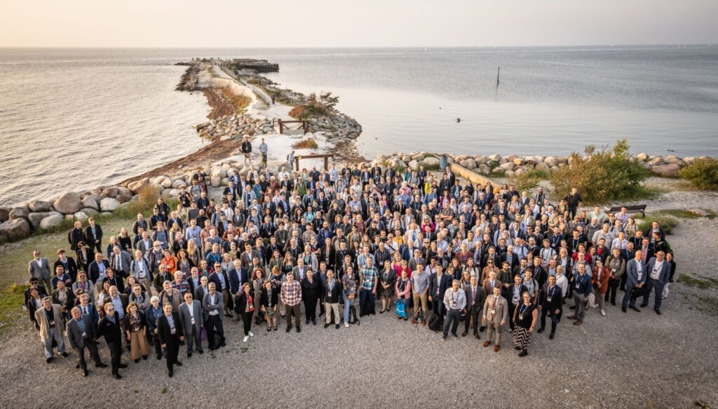
  • Several members of the Terra team participated in the 22nd William T. Pecora Memorial Remote Sensing Symposium in Denver, CO from October 23 – 28, 2022. More information available on the Pecora 22 website.
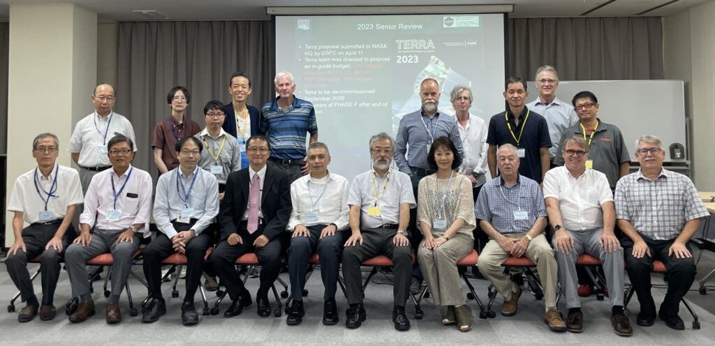
  • The ASTER instrument team will hold a science and interface meeting in Tokyo, Japan from November 7-9, 2022.
  • The American Geophysical Union (AGU) Fall 2022 meeting will be held in Chicago, IL from December 12 – 16, 2022. For more information and an agenda, visit the AGU Fall Meeting 2022 website.

Upcoming Terra Workshops and Community Forums

Here’s a reminder that it’s your last chance to sign up for the virtual Terra, Aqua, and Aura Drifting Orbits Workshop that starts tomorrow, November 1-2, 2022. For more information and registration, visit the Terra website (or register here!).


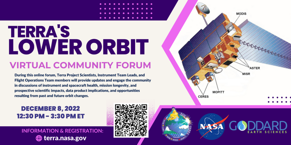
On December 8th, 2022 from 12:30 PM – 3:30 PM ET, the Terra team will be hosting a virtual community forum on Terra’s recent orbit lowering maneuvers (that took place October 12th and 18th). See the graphic below for more information and a QR code linking directly to the Webex webinar registration page.

Infographic on upcoming virtual community forum on Terra satellite's new lower orbit.
Information on Terra’s Lower Orbit Community Forum (virtual webinar) scheduled for December 8, 2022, from 12:30 PM to 3:30 PM ET.

Highlighting Two Decades of Terra Talent

Last week, several NASA Early Career researchers presented their current scientific work during the 2022 Early Career Scientist Forum (full agenda linked here).

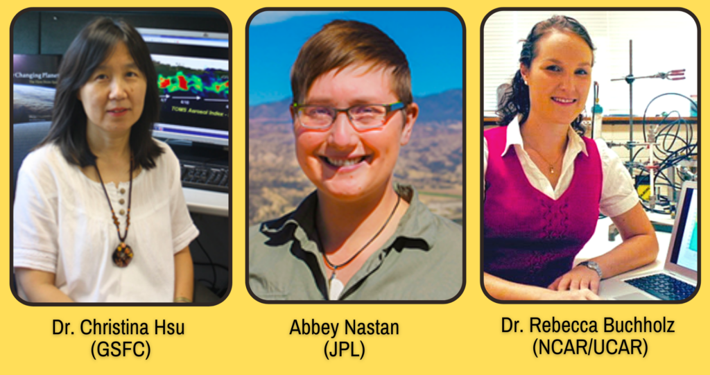
Pictures of the three scientists featured in the post.

With Terra’s 25th Anniversary only two years away (December 2024), we’re kicking off the celebration early in our News and Events section with a new series highlighting some of Terra’s researchers, data users, educators, and science communicators. We’re especially excited to promote current and proposed research that uses Terra data in unique or novel ways!  (Do you know someone who’s made important contributions to the Terra mission? Or a groundbreaking Terra study that you feel made a substantial impact in the fields of earth science or remote sensing? We’d love to feature them – email us your ideas!)

Our first post in this series highlights three trailblazing women at NASA who have contributed to Terra’s scientific legacy, while showcasing the collaborative efforts among scientists at Goddard, JPL, and NCAR/UCAR. Check out their stories below!


Dr. Nai-Yung Christina Hsu (GSFC)

Dr. Christina Hsu, a researcher from GSFC, has incorporated data from many of Terra’s instruments into her research. Most notably, in 2004, she developed a Deep Blue algorithm for MODIS data that better characterizes aerosol properties over deserts and urban areas. (Read the groundbreaking article here!)

More recently, Dr. Hsu collaborated with a team studying regional differences in air pollution reductions, due to the global COVID-19 lockdowns of 2020. She used datasets from MODIS and MISR (two instruments on Terra) to analyze aerosol optical depth (click the link to learn more!).  Learn more about Dr. Hsu’s research using this link, and access the full article here!


Abigail (Abbey) Nastan (JPL)

Check out this recent Earthdata feature of our own MISR instrument Applications and Communications lead, Abbey Nastan! This summary gives an overview of the diverse portfolio of projects that Abbey is currently working on, including MERLIN – a unique visualization tool that leverages the MISR Plume Height Project dataset, giving new life to “old-er” data.

For more information on the MERLIN tool and how it was made, download this PDF.


Dr. Rebecca Buchholz (NCAR/UCAR)

Meet Dr. Rebecca Buchholz, a MOPITT Project Scientist who has worked at NCAR/UCAR since 2014 and has used MOPITT’s carbon monoxide dataset to study long-term patterns of air pollution transportation, especially that associated with wildfires. In a Scientific American news article last month, Dr. Buchholz summarized her recent research findings (published in Nature Communications) that show a significant increase in Western U.S. wildfire air pollution during the month of August, a new peak that largely negates California’s efforts to reduce annual air pollution. (She also gave Terra’s long data-record a shout-out!)  Read more about her research here!

Printed Wire Assemblies Back Online

To return function to 16 printed wire assemblies, including the two most recent, Terra’s Flight Operations Team rebooted Terra’s solid state recorder, on September 22, 2021. The successful reboot of Terra’s solid state recorder returned Terra to a level that allows full science acquisitions from all five instruments (ASTER, CERES, MISR, MODIS, and MOPITT). 

The recorder reboot took nearly 12 hours to complete. The board-by-board power up sequencing resulted in all 16 printed wire assemblies of the 16 offline assemblies returning to operational status.  Terra now has all 58 assemblies in service, and Terra’s data storage capacity is at the same level it had at launch. There are currently no known hardware limitations to the operation of Terra or any of its sensors and there is currently no official passivation (mission end) date. 

For over two decades Terra has collected valuable data about Earth’s systems. In February 2020 Terra stopped doing platform maneuvers that would control its equator crossing time in order to maintain fuel for collision avoidance maneuvers. The remaining fuel will also be used to lower Terra’s orbit as part of its eventual passivation process.  Now with the printed wire assemblies being returned to full function, Terra will be able to collect full data acquisitions from all five instruments throughout this process.

Terra will also continue collecting data after an orbit lowering maneuver planned for Fall 2022. The maneuver upholds agreements to ensure Terra is a safe distance from the other missions in the 705-km Earth Observing Satellite Constellation when fuel to maintain Terra’s orbit has been depleted.

“The science community views the changes in crossing time and orbit altitude as continuation of normal data collection for those products not affected by the orbital changes as well as an opportunity to do novel science with those that are affected,” according to Kurtis Thome, Terra Project Scientist.  The Terra Project fully expects the Terra platform and all five instruments to operate past 2026 allowing them to maintain their status as leaders in Earth science data production.  Terra’s long-term data record will continue to contribute to the Earth Science Division’s key science questions:

  • How is the global Earth system changing?
  • What causes these changes in the Earth system?
  • How will the Earth system change in the future?
  • How can Earth system science provide societal benefit?

Terra, the flagship Earth Observing Satellite, continues to be a leader in Earth science data, contributing to scientific research and applications worldwide, now with data capacity levels restored by a successful solid state recorder reboot.

New evidence shows that California’s clean air programs that reduce particle pollution in California are working.

Scientists from Emory University, NASA’s Jet Propulsion Laboratory, and the California Air Resources Board analyzed the 15-year trend of fine particle pollution based on satellite data from Terra’s Multi-angle Imaging SpectroRadiometer (MISR) instrument. This type of pollution, known as PM2.5 (less than 2.5 microns in diameter) accounts for the greatest percentage of health impacts attributable to air pollution in California.

The study was recently published in the journal “Atmospheric Environment” is the first to evaluate long-term changes in major PM2.5 components using spatially comprehensive satellite data, according the the California Air Resources Board.

Read the press release from the California Air Resources Board.


On May 6, 2018 as Kilauea continued to erupt, MISR passed overhead at approximately 11 a.m. local time, capturing this view of the island. While much of the island is covered by clouds, the eruption plume is visible streaming southwest over the ocean starting at the fissure on Hawaii’s eastern point. MISR uses it’s unique, nine-angle view to calculate plume height. This image is from one of MISR’s forward pointing cameras. The plume height is relatively low, meaning that gas and ash are staying near the ground, potentially causing health risks from poor air quality downwind.

Read more:


Ash from Kilauea Eruption Viewed by NASA’s MISR on NASA JPL’s Photojournal