Spring is here — and so are the Terra science team meetings and workshops! Here’s a list of upcoming Team Meetings and Workshops related to the Terra mission, with additional information about each in the post below this list.
- 2023 MODIS/VIIRS Science Team Meeting
- 2023 NASA Land-Cover and Land-Use Change (LCLUC) Science Team Meeting
- CERES 38th Science Team Meeting
- UCAR Remote Sensing Initiative Workshop
- NASA’s Terra, Aqua, and Aura Data Continuity Workshop
2023 MODIS/VIIRS Science Team Meeting
The MODIS/VIIRS Science Team Meeting will be held May 1- 4, 2023 at The Hotel at The University of Maryland. Registration will be available soon. Stay tuned to the MODIS Website for more information as it’s made available.
2023 NASA Land-Cover and Land-Use Change (LCLUC) Science Team Meeting
NASA’s Carbon Cycle & Ecosystems (CC&E) focus area will be hosting the next Joint Science Workshop (JSW) on May 8-12, 2023 at The Hotel in College Park, MD. The first two days (May 8-9) will be LCLUC meeting with an emphasis on the early career scientists’ projects. Next two days will be joint meeting with other NASA Earth Science programs of the Carbon Cycle and Ecosystems Focus Area at plenary sessions. For more information, visit the LCLUC Meeting website.
CERES 38th Science Team Meeting
The CERES 38th Science Team Meeting will be held May 9-11, 2023 at the Pearl Young Theater on the campus of Langley Research Center, Hampton VA. For more information and a PDF of the agenda, please visit the CERES website.
UCAR Remote Sensing Initiative Workshop
This new Initiative provides a focal point for UCAR satellite remote sensing instrumentation, data and science activities, and promotes collaboration across the organization. For more information on this event, visit the UCAR Remote Sensing Initiative website.
NASA’s Terra, Aqua, and Aura Data Continuity Workshop
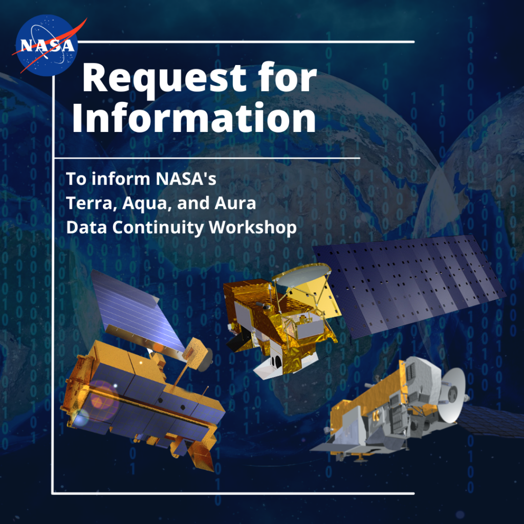
NASA recently released a new NASA Request for Information (RFI), seeking input from the science community and stakeholders on data product continuity needs, capabilities, and gaps as NASA’s Terra, Aqua, and Aura missions reach the end of their operational life.
NASA will use these RFI responses to help plan a Terra/Aqua/Aura data continuity workshop. This workshop will determine needs, evaluate current capabilities, identify gaps, and specify potential actions for these missions. The Terra, Aqua, and Aura Data Continuity Workshop will be virtual and is currently scheduled for May 23-25, 2023, from 11am – 4pm Eastern Time.
For more information and updates, visit the NASA NSPIRES platform (linked above), review the full RFI PDF linked here, or see the following linked FAQ document.