

It’s hard to believe, but it’s been one year since we celebrated Terra’s 25th Anniversary! (In case you missed it, you can get all the highlights on the Terra website).
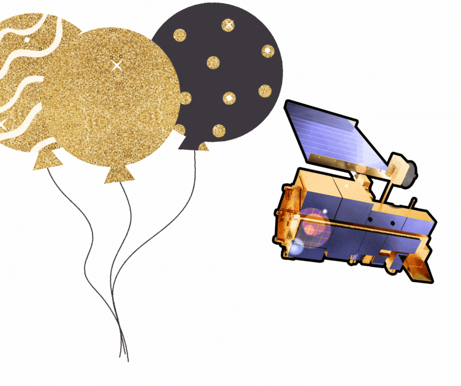
Today, we celebrate Terra for making yet another trip around the sun (and thousands around the Earth, too!) Happy 26 years (and counting!) to Terra and her five amazing instruments (ASTER, CERES, MISR, MODIS, and MOPITT)! Thank you for another year of collecting daily morning Earth science data and inspiring the world with your endurance.
Special thanks to the entire mission team, past and present, for doing all the “behind-the-scenes” hard work to keep Terra running all these years! We appreciate you all and hope you find a way to celebrate “The Hardest Working Satellite in Earth Orbit” with us, today!
Still want more Terra Anniversary content? Check out the links above and the list below!


