

Multi-angle Imaging SpectroRadiometer
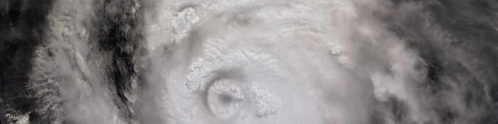
Most satellite instruments look only straight down, or toward the edge of the planet. To fully understand Earth’s climate, and to determine how it may be changing, we need to know the amount of sunlight that is scattered in different directions under natural conditions. MISR is a new type of instrument designed to address this need — it views the Earth with cameras pointed at nine different angles. One camera points toward nadir, and the others provide forward and aftward view angles, at the Earth’s surface, of 26.1°, 45.6°, 60.0°, and 70.5°. As the instrument flies overhead, each region of the Earth’s surface is successively imaged by all nine cameras in each of four wavelengths (blue, green, red, and near-infrared).
In addition to improving our understanding of the fate of sunlight in the Earth’s environment, MISR data can distinguish different types of clouds, aerosol particles, and surfaces. Specifically, MISR will monitor the monthly, seasonal, and long-term trends in:
- the amount and type of atmospheric aerosol particles, including those formed by natural sources and by human activities;
- the amount, types, and heights of clouds; and
- the distribution of land surface cover, including vegetation canopy structure
MISR Web Site (Jet Propulsion Laboratory)