

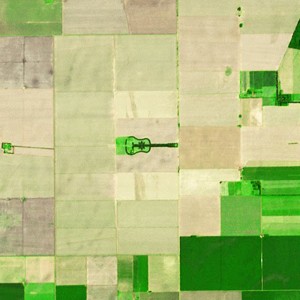
Terra continues to witness many changes on the landscape, collecting some of the most iconic images of our planet since its launch in December of 1999. Many sources archived Terra imagery including the Earth Observatory and NASA’s Visible Earth.
This section contains images, videos and podcasts that visualize many events and changes on Earth’s surface and also explain some of the science to which Terra contributes.

As the Flagship Earth Observing Satellite, Terra was the first satellite to look at Earth system science with five sensors dedicated to observing the land, water, and atmosphere.
By seeing Earth from the same vantage point, but collecting multiple types of data dedicated to various areas of Earth science, scientists are able to document relationships between Earth’s systems and examine their connections.
The images, videos, and podcasts illustrate and examine Earth system science as Terra observes changes on Earth over time.