


Terra Logo – click to enlarge
Introduction to Remote Sensing
Fundamentals of Remote Sensing – An interactive online tutorial on remote sensing technology and its applications from the Canada Centre for Mapping and Earth Observation, Natural Resource Canada. This interactive module is intended as an overview at a senior high school or early university level and touches on physics, environmental sciences, mathematics, computer sciences and geography.
Documents
- Terra Fact Sheet – An overview article about the Terra Mission published on the Earth Observatory. It also has images and animations of the satellite and instruments that could be useful in presentations.
- Terra Brochure (pdf)
- Terra Science Writer Guide (pdf)
- Terra Press Kit(pdf)
- Terra Turns 5 – article highlights ways Terra instruments work in concert to benefit society, track pollution and monitor Earth’s energy balance
Terra Poster
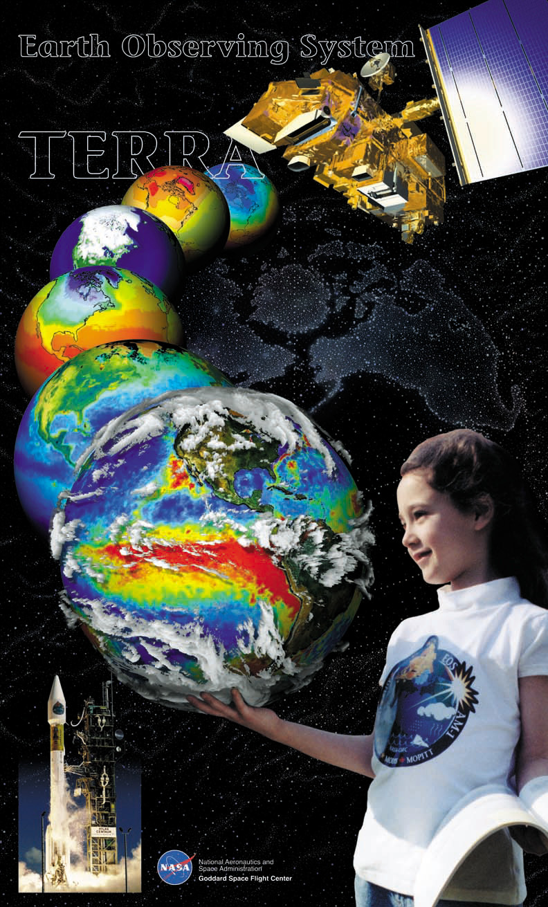
Front of poster – click to enlarge
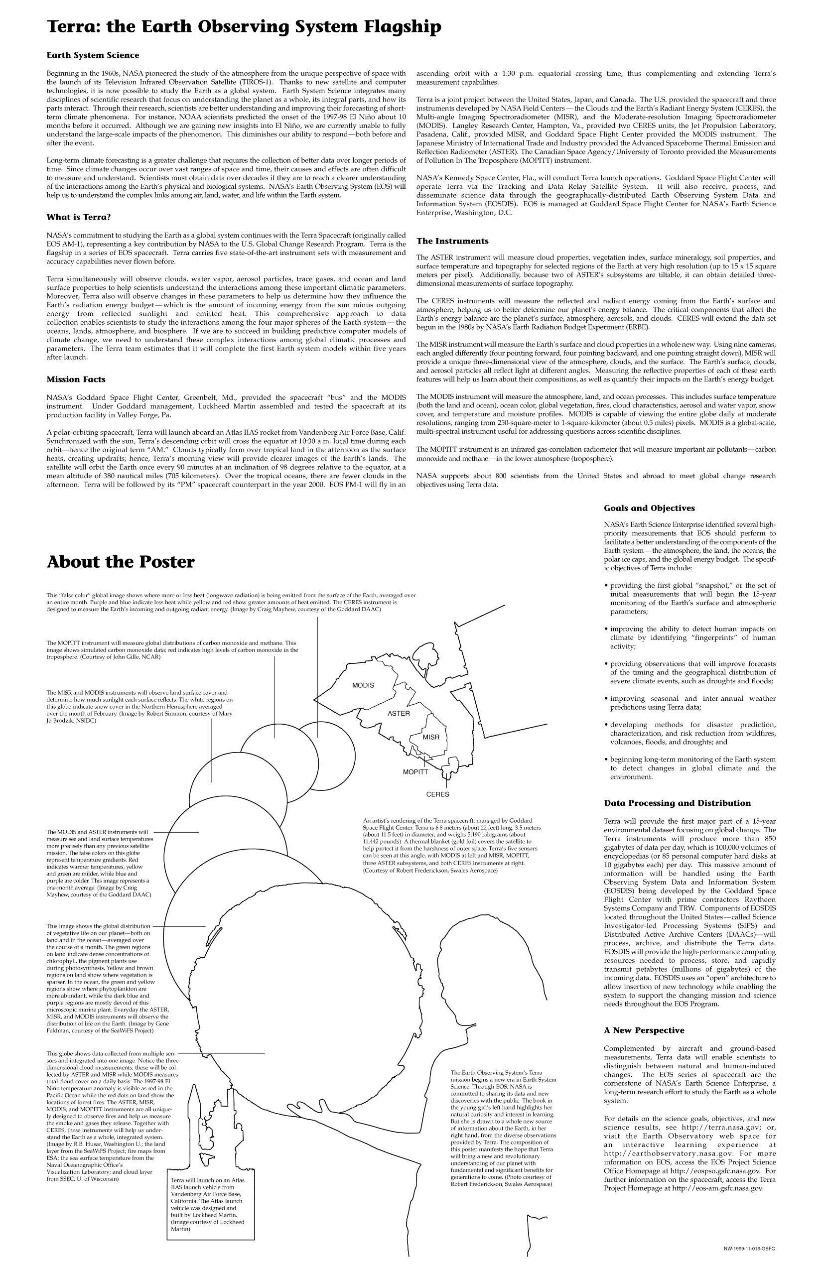
Back of poster – click to enlarge
Presentations
- Terra at Ten
Presentations give by Terra principal investigators and engineers during Terra’s 10th anniversary celebration in May 2011.
Web Resources
- NASA’s Earth Observations (NEO)
NEO is your source for global data imagery from NASA. The global data sets are interactive allowing users to look for relationships between different types of data. Ever wondered how Sea Surface Temperature and Chlorophyll concentrations are related? Use the interactive tool to see how.
- Earth Observatory
Earth Observatory web site The Earth Observatory offers current information about Earth science through images updated multiple times daily, articles, fact sheets, blogs, and animations. Experiments are activities for educators. The Global Maps section contains movies that show seasonal change in things like plant growth, cloudiness, and rainfall. Articles about current science and fact sheets are in the Features section. All articles are reviewed by NASA scientists to ensure scientific accuracy. The Images section offers satellite images that show new scientific findings, current events, or simple beauty.
- Scientific Visualization Studio (SVS)
An online source of visualizations that showcase NASA programs. The SVS works closely with scientists in the creation of visualizations, animations, and images in order to promote a greater understanding of Earth and Space Science research activities at Goddard Space Flight Center and within the NASA research community.