

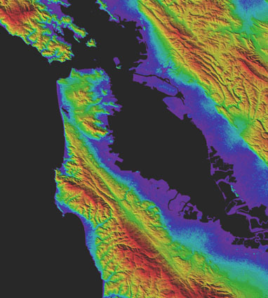
How tall is Mount Everest? How low is Death Valley? How high are the hills behind your home? What about the elevation of your favorite lake or river? Between the most northern islands of Greenland and the interior of Antarctica, elevation data from the Advanced Spaceborne Thermal Emission and Reflection Radiometer (ASTER) Global Digital Elevation Model (GDEM) Version 3 can be accessed for free. The data is downloadable from Japan Space Systems and from NASA’s Land Processes Distributed Active Archive Center (LP DAAC).
The GDEM covers more land area at a higher resolution, while also decreasing water area anomalies. This is due in large part to the development of an additional new product, the ASTER Water Body Dataset (ASTWBD), which identifies all water bodies as either ocean, river, or lake. This is the first product providing a water mask that covers nearly the entire surface of Earth.
Read the entire press release https://lpdaac.usgs.gov/news/nasa-and-meti-release-aster-global-dem-version-3/
Read more from NASA Earthdata https://earthdata.nasa.gov/learn/articles/new-aster-gdem
ASTER GDEM and ASTWBD tiles may be downloaded from:
Japan Space Systems – http://www.jspacesystems.or.jp/ersdac/GDEM/E/
LP DAAC’s, NASA’s Earthdata Search – https://search.earthdata.nasa.gov/
LP DAAC’s Data Pool – https://lpdaac.usgs.gov/tools/data-pool/.
The data are available with transformation services via the Application for Extracting and Exploring Analysis Ready Samples (AρρEEARS) at https://lpdaacsvc.cr.usgs.gov/appeears/.