Terra Operational Changes and Data Updates
Over the past three years, the Terra mission has performed multiple maneuvers that have led to changes in the satellite’s consistent 20+ year orbit*. Today, Terra continues slowly drifting to an increasingly earlier overpass time and lower altitude. While the orbital changes have had little to no impact on instrument data collection or quality, data users have expressed the need for regular updates on Terra’s equator crossing time (in Mean Local Time), as well as orbital altitude. Starting this month, we’ll be adding this information to the Terra homepage and updating it bi-weekly using data provided by the Flight Dynamics Team.
Finally, processing of ASTER data has re-started, with updated Level-1processing to account for the lower Terra orbit. Processing of the previously-collected data since late October 2022 to the end of June 2023 is also taking place. See the infographic provided on the Terra website for more information, and for the latest news on all things related to Terra data, visit the Alerts and Issues page available on the LAADS DAAC website (linked here).
*For more information about Terra’s orbit changes, check out the January/February 2023 edition of The Earth Observer — linked here — for summaries of two recent NASA-hosted webinars pertaining to these changes, or visit the Terra website.
Terra Instrument Check-In
Here’s a list of 2023 happenings and publications for each Terra instrument:
ASTER:
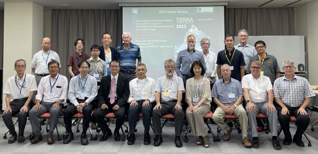
The 52nd ASTER Science & Interface Meeting was held at the Kikai Shinko Kaikan in Minato-ku, Tokyo, Japan from September 11-15, 2023 (group photo posted below). The meeting included two Plenary sessions, as well as presentations from ASTER working groups, including Operations and Mission Planning (OMP), Applications, Calibration and Validation, Temperature-Emissivity Separation (TES), and the Science Team Acquisition Request (STAR) groups. Meeting presentations showcased diverse applications of ASTER data in various fields and activities, including mineral and other geologic mapping projects, coastal monitoring activities, cryospheric studies, machine learning models for urban land dynamics, and volcanic eruption precursor detection. Additionally, updates were provided on the ASTER Volcano Archive and the Global Land Ice Measurements from Space (GLIMS) Database. A copy of meeting presentations are available upon request.
CERES:
The next CERES meeting will be held in-person from October 17-19, 2023 at NASA Goddard Institute for Space Studies, in New York City, NY. See the “Meeting Logistics and Recommended Hotels” link on the CERES website for more information about attending the meeting and a link to the full agenda (also linked here). Many exciting speakers are scheduled to speak at the meeting, so check back to the Terra website often for an update and summary after the meeting!
MISR:
The MISR team has been working hard on algorithm adjustments needed to finalize the Level-1 data processing take into account the effects of Terra’s orbit lowering in October 2022. Additional updates on the status of this process will be posted on the Terra website, including a notice when processing has begun.
MISR was highlighted during a biannual summer workshop, hosted by NASA Disasters program, to support dialogue and collaboration between NASA experts and members of the Volcanic Ash Advisory Centers (VAACs) team. Find out more about this partnership in a recently-published story from the Disasters program, linked here!
MODIS & MOPITT:
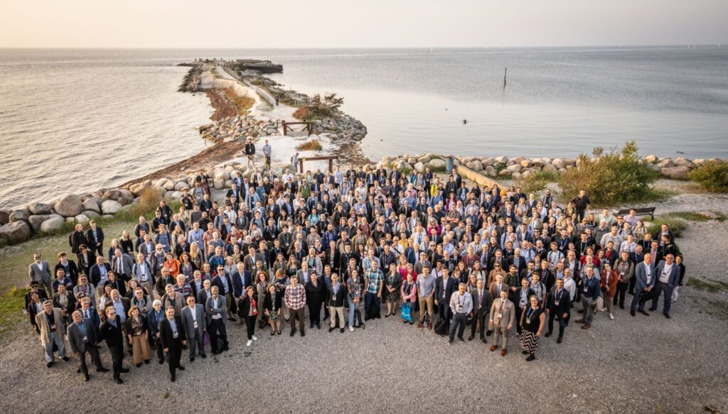
Miguel Román (MODIS) and Helen Wooden (MOPITT) both attended the European Organisation for the Exploitation of Meteorological Satellites (EUMETSAT) Meteorological Satellite Conference 2023 that took place in Malmö, Sweden, from September 11-15, 2023. A (beautiful) group photo from the meeting is included below.
Miguel Román participated in several sessions to discuss EUMETSAT’s plans for morning-orbit polar orbiting observations. As recommended by NASA’s Terra, Aqua, and Aura Data Continuity Workshop, the EUMESAT Multispectral Visible Infrared Imager (METImage) on the Metop-SG A satellite, due to launch in December 2024, is being explored as a possible source of morning data product continuity, currently represented by the suite of standard science products generated from the MODIS instrument onboard Terra.
Helen Worden presented trends using the MOPITT data record of global carbon monoxide (CO) and plans for continuation of the MOPITT record using MetOP/IASI, NOAA/CrIS and ESA/TROPOMI data. The MOPITT team has long collaborated with the EUMETSAT IASI instrument team on satellite data inter-comparisons. Comparisons with MOPITT data have been especially important for new instruments in space, since MOPITT has the longest available record of satellite CO observations. The EUMETSAT meeting had many useful presentations on atmospheric composition and trends, among other interesting topics, with plenty of networking opportunities for developing new ideas for research and plans for data continuity.
