Month: January 2020

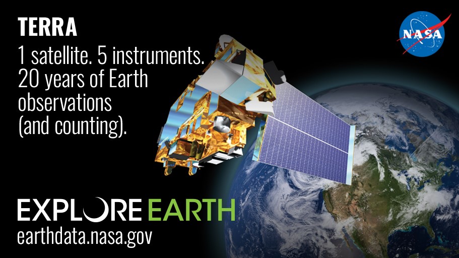
What do you get when you have an Earth observing satellite mission that collects science-quality data from five instruments for more than 20 years? You get groundbreaking science, more than 20,000 peer-reviewed publications, and a critical understanding of how our planet works. In other words, you get NASA’s Terra mission. Read about how the instruments aboard NASA’s flagship Earth observing mission are compiling a monumental climate data record and what this means for you in “Terra: Five Instruments—One Monumental Data Record,” now available on NASA’s Earthdata website.

Terra’s MODIS and MISR instruments were featured in an article in AGU’s eos.org, titled, A Global Perspective on Wildfires. The article, written by Ralph Kahn, highlights how twenty years of satellite data are used in wildfire management.

“Remote sensing instruments are relatively blunt objects for characterizing wildfires and their impacts, compared with traditional in situ monitoring. However, they offer the advantage of providing frequent, broad coverage at minimal incremental cost and at no risk to observers. Over the past 20 years, the research community has developed tools and techniques to capture key aspects of fire behavior and impacts, with data from spaceborne instruments such as the Moderate Resolution Imaging Spectroradiometers (MODIS) aboard NASA’s Terra and Aqua satellites and the Multiangle Imaging Spectroradiometer (MISR) aboard Terra. This article reviews selected contributions that satellite instruments are making to advance our understanding and monitoring of, as well as our responses to, wildfires globally.”

-Ralph Kahn, A Global Perspective on Wildfires

NASA’s The Earth Observer’s November-December Issue highlighted Terra and the accomplishments of the team of scientists and engineers who contribute to Terra’s twenty years of valuable scientific data collection.

The Terra team was recognized as the recipient fo the 2019 Pecora Group Award.

Terra’s contributions to how we view our entire planet, affectionately called the Blue Marble, were recognized as part of the Blue Marble story.

Additionally, NASA’s Earth Observatory, known for being a major source to the public of images, stories, and discoveries about the environment, Earth systems, and climate that emerge from NASA research, was featured for their twenty years of operation. NASA’s Earth Observatory website was born out of Terra’s education and outreach initiative during launch.

Read about Terra and twenty years of Earth systems satellite science in their November-December issue:

https://eospso.nasa.gov/sites/default/files/eo_pdfs/Nov_Dec_2019_color_508.pdf

Terra’s MISR instrument measures how high smoke travels in the atmosphere, which can affect how far smoke travels, helping better forecast where air quality is affected. This animation shows the height of smoke plumes over Australia from December 16, 2019.

On December 16th, 2019 NASA’s Terra satellite flew over the eastern coast of Australia, capturing 3D data on the height of smoke plumes emanating from the widespread fires in the region with its Multi-angle Imaging SpectroRadiometer (MISR) instrument. Using data from this overpass, the NASA Disasters Program in collaboration with the Active Aerosol Plume-height (AAP) project has developed the first ever interactive 3D visualization of MISR fire plume-height data, which demonstrates the new 3D capabilities of the NASA Disasters Mapping Portal. https://disasters.nasa.gov/australia-fires-2020/nasa-terra-satellite-maps-australia-smoke-plumes-3d