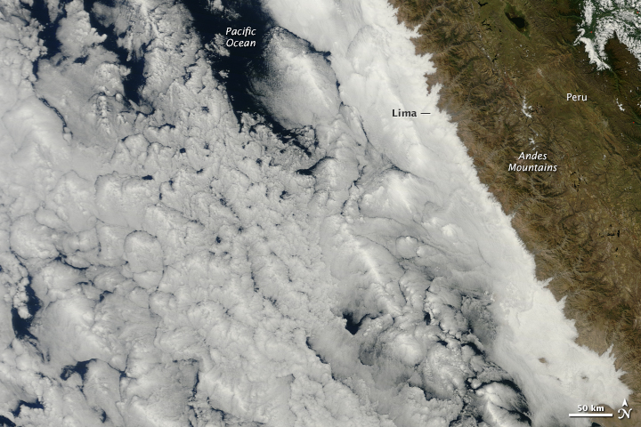
Ocean clouds meet the coastal desert in dramatic fashion on the coast of Peru, outlining the inland topography with precision. This image, acquired by the Moderate Resolution Imaging Spectroradiometer (MODIS) on NASA’s Terra satellite on May 28, 2014, illustrates the balance of nature’s extremes: dry versus wet and high versus low. Read more
NASA image courtesy Jeff Schmaltz, LANCE/EOSDIS MODIS Rapid Response Team at NASA GSFC. Caption by Holli Riebeek.

