Image from TERRA
Tue, 20 Sep 2022 10:30 EDT

Water departments in the West are using maps and models originally created by a NASA team to help track water.

Image from TERRA
Thu, 15 Sep 2022 10:00 EDT

NASA and Google broadened an existing partnership to help local governments improve their monitoring and prediction of air quality for better decision making.

Image from TERRA
Mon, 11 Jul 2022 09:30 EDT

Ozone pollution assessments made for the Great Lakes region now include NASA satellite and other near-real time Earth observations.

Did You Know?: A Series of Terra Facts

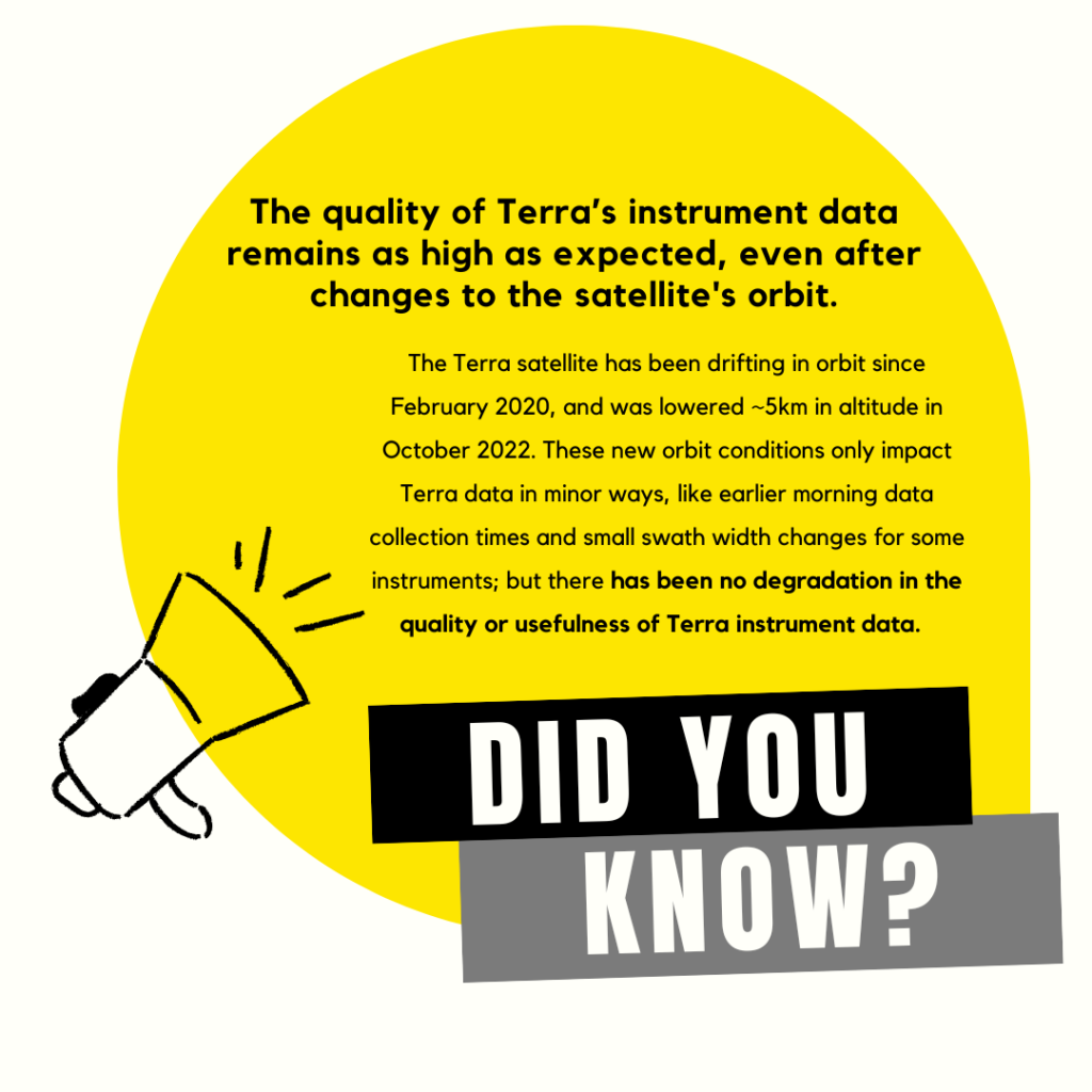
We’re kicking off the new year with a fresh homepage layout and a new bi-weekly series of infographics that highlight important Terra information. Our first infographic highlights the continued high quality of Terra instrument data — even with Terra’s new orbit (click the link to learn more!). Feel free to share this graphic widely, and check back for more Terra facts every other week on the Terra website homepage.

Headline: The quality of Terra's instrument data remains as high as expected, even after changes to the satellite's orbit.  Main text: Did you know? The Terra satellite has been drifting in orbit since February 2020, and was lowered ~5km in altitude in October 2022.  These new orbit conditions only impact Terra data in minor ways, like earlier data collection times and small swath width changes for some instruments; but there has been no degradation in the quality or usefulness of Terra instrument data.
Did You Know? The quality of Terra’s instrument data remains as high as expected, even after changes to the satellite’s orbit.