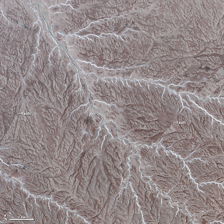
NASA Earth Observatory image by Jesse Allen, using data from NASA/GSFC/METI/ERSDAC/JAROS, and U.S./Japan ASTER Science Team.
The Advanced Spaceborne Thermal Emission and Reflection Radiometer (ASTER) on NASA’s Terra satellite, captured the image of Prince Patrick Island in Northern Canada. The image was featured on NASA’s Earth Observatory, showing the dendritic drainage pattern of interlocking steam and river channels, as well as, strike-slip faults, evidence of Prince Patrick’s seismic history. Prince Patrick Island is usually surrounded in sea ice, while temperatures average -33 degrees Celcius in January. This cold, inhospitable terrain is not a frequent travel destination, but through satellite imagery, much can be learned about this mostly uninhabited part of our planet.

