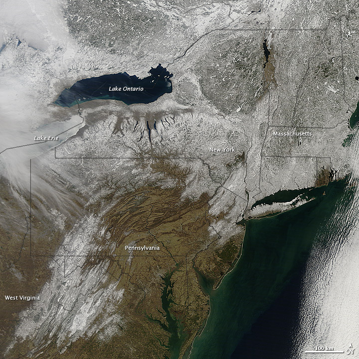
- Snow cover sprawled across the northeastern United States in early March 2013. The Moderate Resolution Imaging Spectroradiometer (MODIS) on NASA’s Terra satellite captured this natural-color image on March 9. Snow cover stretched from West Virginia into Canada, and from the western shore of Lake Ontario to the Atlantic Ocean. Read more

