You may have heard about the upcoming full solar eclipse, happening this upcoming April 8th, 2024 — but did you know Terra will have one of the “best seats in the house” for viewing this rare celestial experience?!
In the United States, the center “totality” shadow of the eclipse will pass from south to north along a track on the East Coast from Texas to New York. But because of Terra’s unique morning orbit timing and scheduled location, the satellite’s wide view will capture the eclipse shadow in the early morning hours and over the ocean, limiting visible contrast but still recording important data to be later used in reconstructing this event. Check out the sections below for additional information and eclipse-viewing resources from NASA!
NASA Eyes on Earth Interactive Tool
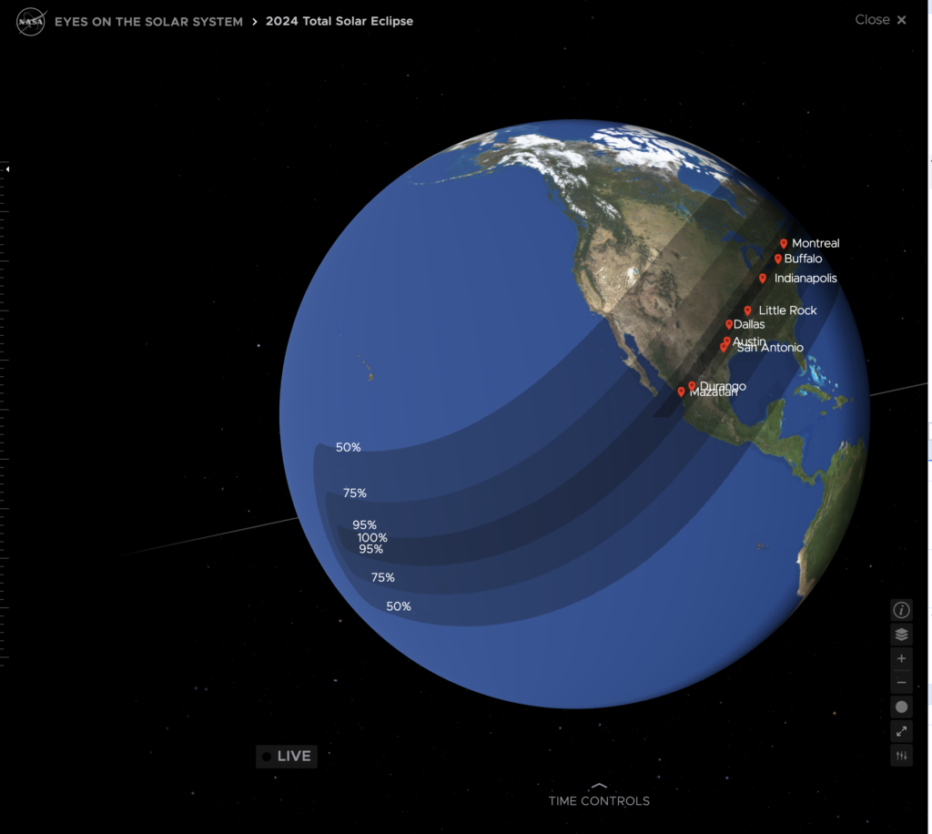
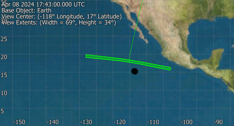
Want to learn more about where and when to view the upcoming full eclipse this April 8th? Check out NASA’s new Eclipse 2024 addition to their Eyes on Earth interactive graphic (click image to open tool webpage).
Credit: NASA/JPL-Caltech/VTAD
Other NASA Eclipse 2024 Resources
For all things NASA Eclipse 2024 related, visit the official website here!